
Orientation
It's been two years since the fixed transects for the long-term study were last maintained, so finding and clearing them presented a bit of a challenge!
The iconic Danum landscape is a riverine forest with a lush canopy vaulting into an atmospheric mist with raking light, both mysterious and foreboding.
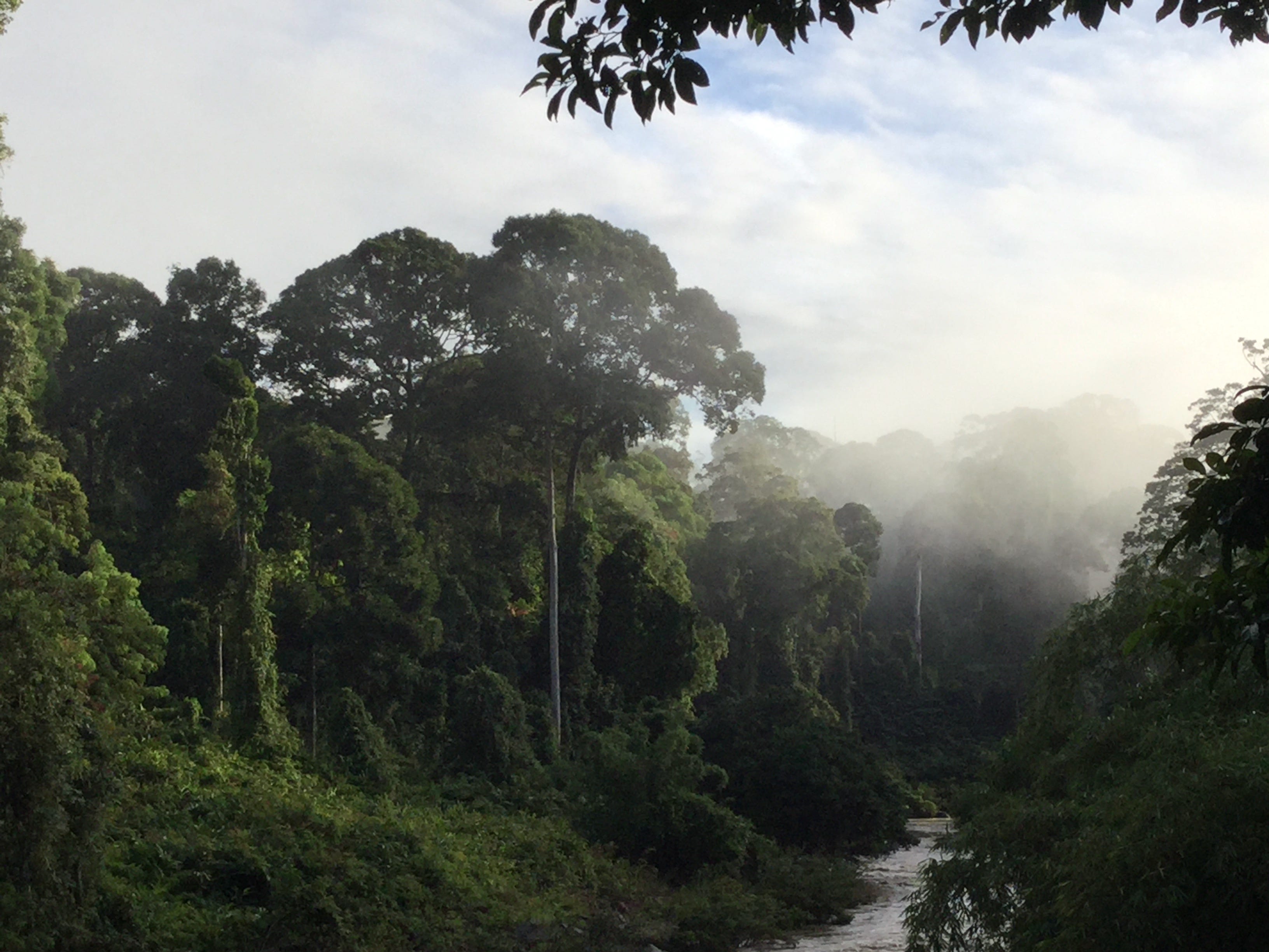
That’s because the pedestrian suspension bridge over the Segama River connecting the Field Centre where the vehicle track ends to the unlogged forest reserve affords a spectacular view of the pristine forest. The bridge itself also qualifies as a bit of a scenic wonder and engineering marvel.
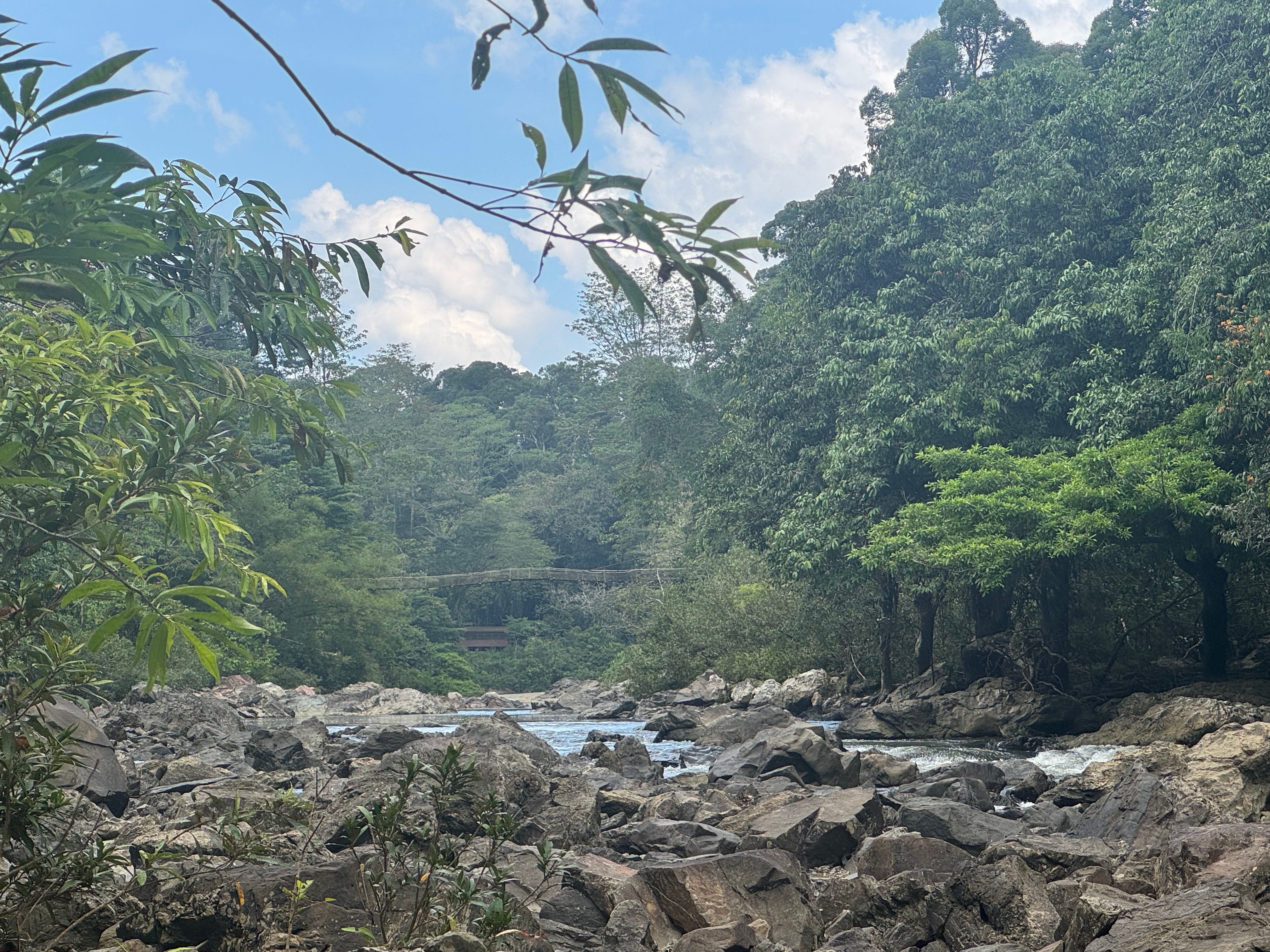


What’s so remarkable about Danum is the scale of the lowland rainforest reserve. On Borneo and in much of Southeast Asia, lowland rainforests have experienced dramatic human impacts over recent centuries: easily accessible compared to hill or montane forests, they’ve largely been logged or converted to plantations such as rubber (in the colonial era) or palm oil (more on that another time). That’s left few areas in the region with intact ecosystems to preserve the species that live there and to study how these systems work. When Danum Valley was protected—in 1980—there were no human settlements in the ~500 km2 area. A much larger buffer zone around Danum includes selectively logged forest reserves.
When Suzanne Tomassi and David Edwards set up the long-term bird-monitoring study at Danum in 2014, the fundamental question they intended to address is the impact that selective logging has on bird communities and bird populations over the long term. To compare unlogged versus selectively logged forests, they set up 3 plots in each with three separate 250-m transects at each plot. To collect the bird data, the crews to this day simply set up fifteen standard 12-meter mist nets on one morning and then run the nets from 6am to noon on two subsequent days. Mist nets are used the world over to catch birds; by passively netting the birds in the forest—basically seining the understory air for what flies there—our captures provide a comparable sample of the species and their numbers from site to site and year to year. By marking them individually (with uniquely numbered rings/bands on their legs) and letting them return to their life after a short interlude in the net and in our hands, we can track site-faithful individuals over years of captures and generate an estimate of their survival rate with a little fancy math.
Upon arrival at Danum, our principal task with Suzanne was to locate all 18 transects and clear them for the 2m high nets and mark the access trails from the roadway. Through rain and sweltering heat, land leeches and no-see-um biting flies, Suzanne and Deddy, a long-time Research Assistant from SEARRP, were able to find shreds of old flagging, old cut marks on saplings and healed blazes on trees to identify the transects last used two years ago. Another SEARRP RA and two field assistants from Sabah with extensive ornithological experience whom we hired for the summer joined us for those tough first days.


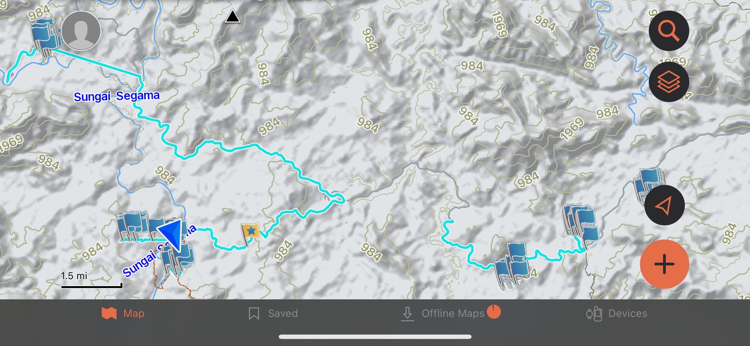
When Suzanne started the project in 2014, civilian GPS units did not yet have sufficiently advanced antennae to reliably record locations in steep hilly terrain under a dense tropical canopy with (sometimes) thick cloud cover. I know, because we faced precisely the same problem on a similar project I conducted in the Jaguar Preserve in lowland rainforest in Belize for a grad student at the University of Massachusetts at Amherst. But recently, the “technology” (antenna sensitivity? Satellite density? Triangulation algorithms?) have improved so much that regular Garmin GPS units record fairly precise locations. So I recorded waypoints along each transect at each of the plots along with the access track routes and some of the roadways. So now we each can view all 6 plots on a base map or topo map using a Garmin app on our phone either at the regional scale (with two of the virgin forest plots walking distance from the Field Centre—where the blue arrow shows my current location) or zoomed in at a much finer scale. It is astonishing what our phones are capable of!
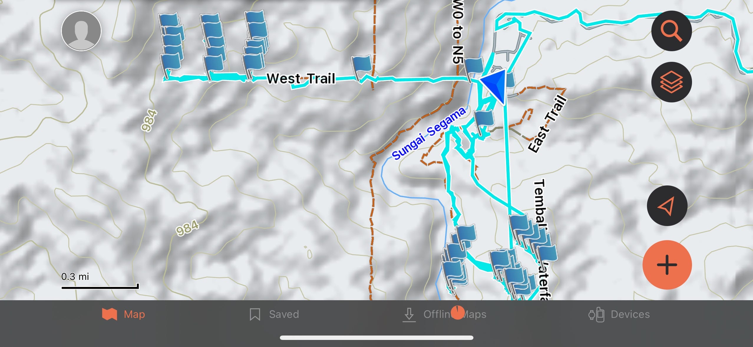
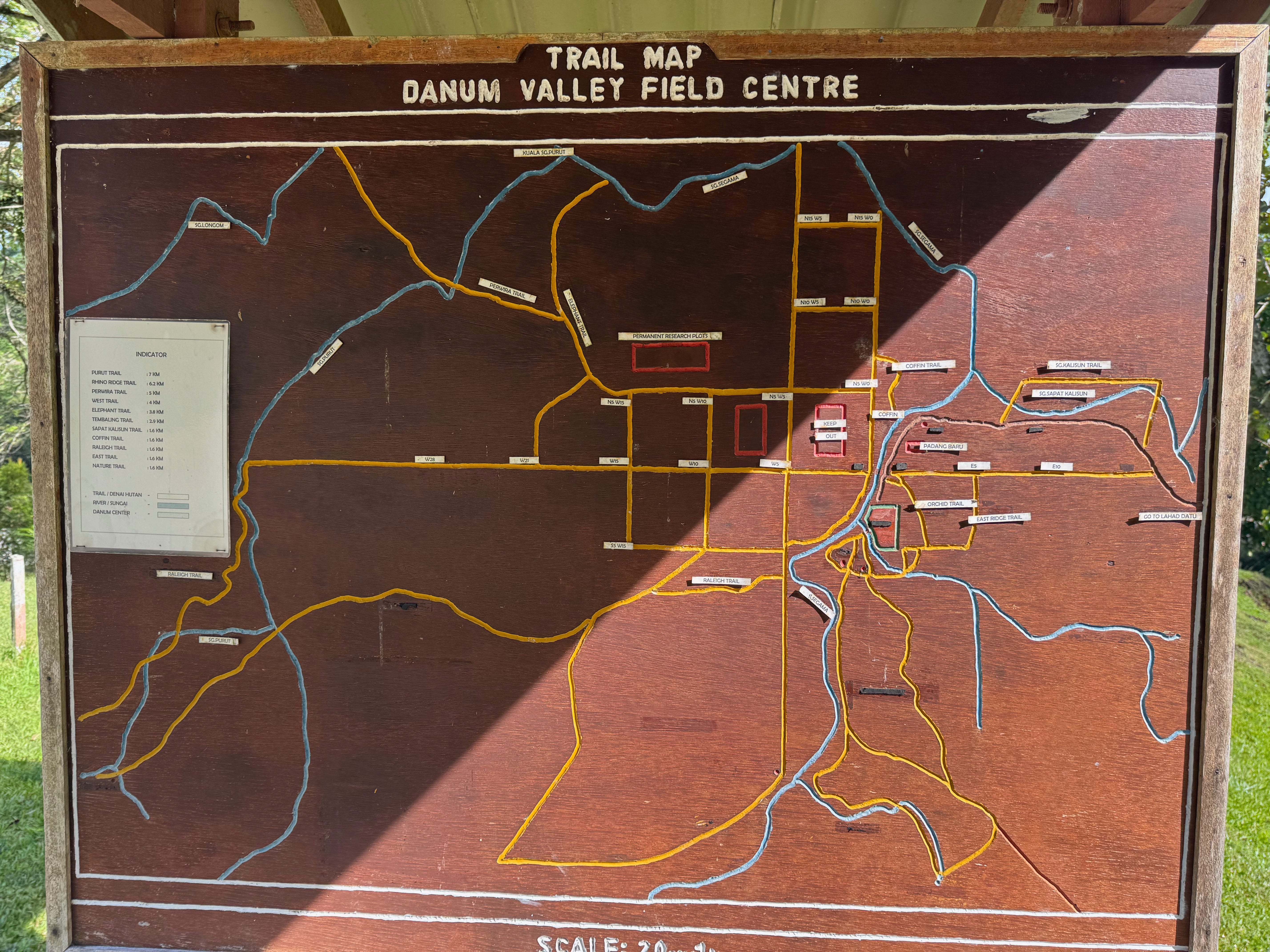
There is a lovely old-fashioned analog map as well, showing the trail system around the Field Centre from about 30 years ago.
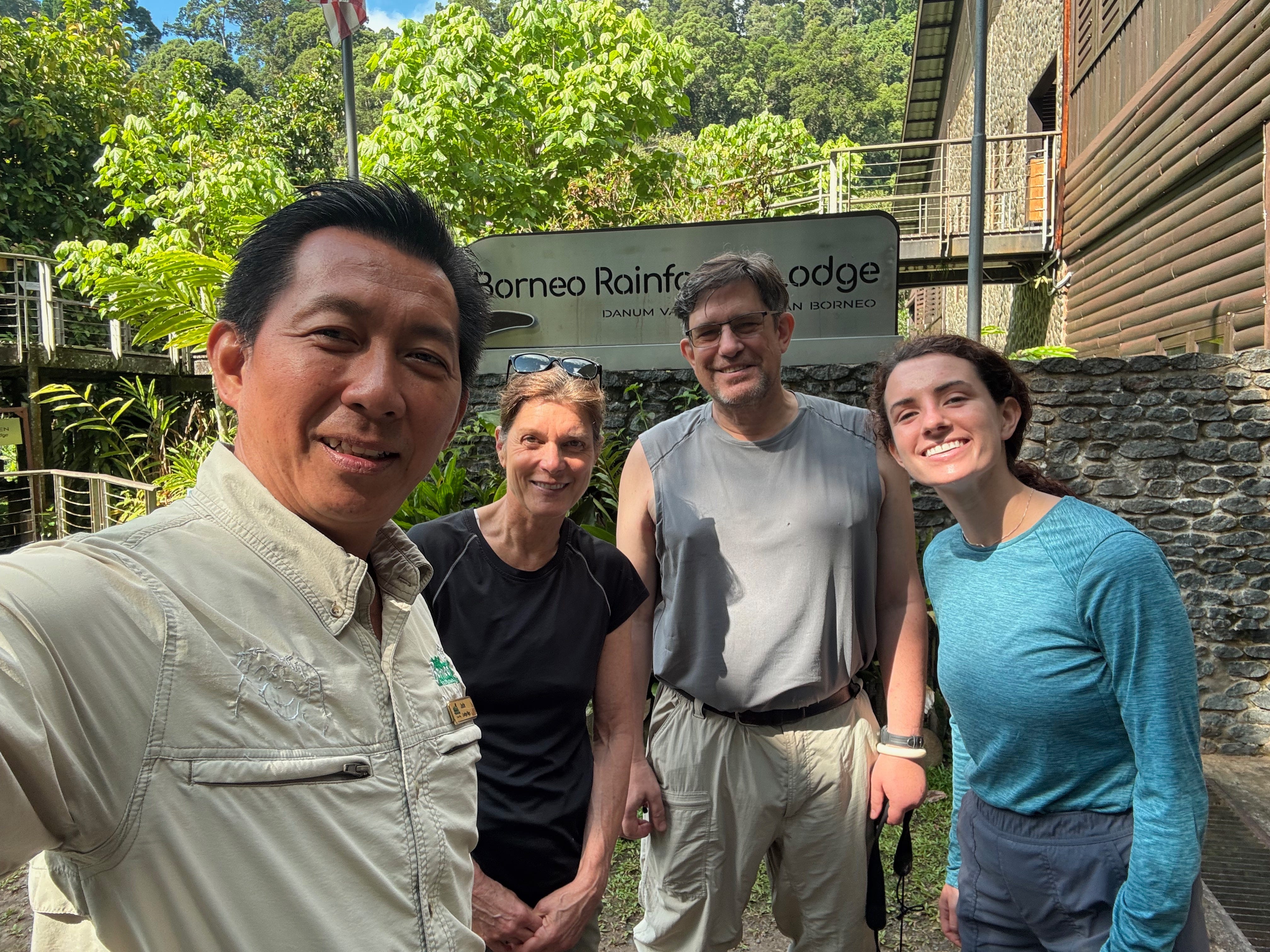
Our third unlogged forest plot is a long drive on another track that leads to one of the fanciest ecotourism lodges I’ve ever seen, the Borneo Rainforest Lodge (BRL). In order to secure access to the plot, we met with the new director of the lodge who takes a selfie with his meeting guests for documentation. He indicated that we would be welcome to lunch at the lodge restaurant after our field days—provided no other guests were around. He know only too well what our condition might be after a morning in the forest.
The attractions that draw in tourists from all over the world to BRL, of course, are incredible encounters with wildlife on their trails, on the canopy walk, and even at times along the access road. The suspension bridge at the Field Centre, though, offers not just a focal point for the Centre’s built environment, it also doubles as a kind of canopy walk, observation tower, and river walk. Recently, for example, a clan of smooth otters passed by under me as I crossed the suspension bridge on my return from plot two.
And shortly thereafter on the Field Centre side, an Orang-outan made an appearance with its slow deliberate movements through the subcanopy. It seemed to be looking for a good spot for the leaf nest they build every afternoon to spend the night in.
"Basically seining the understory air for what flies there"--a lovely image. How often do you catch non-birds in the nets? Given that your other post mentioned an 18-volume set describing the moths of Borneo, I presume there's no shortage of insects.